 Top Form Continuous Listing Paper Eyeline 2 Part 280 x 368mm NCR - 1000 Sheets
  Top Form Continuous Listing Paper Blank 2 Part 280 x 240mm NCR - 1000 Sheets
  Top Form Continuous Listing Paper Eyeline 2 Part 216 x 368mm NCR - 1000 Sheets


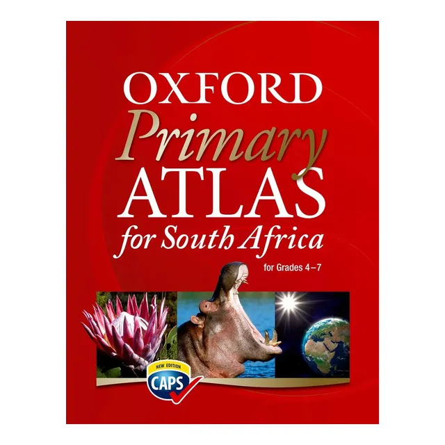
Oxford Primary Atlas For South Africa
R365.00 Incl (R317.39 Excl)
| Bulk Quantity | Bulk Price |
|---|---|
| 5 - 19 | R350.40 Incl (R304.70 Excl) |
| 20 + | R335.80 Incl (R292.00 Excl) |
Oxford Primary Atlas For South Africa
Oxford Primary Atlas For South Africa introduces young learners to maps and geography, helping them explore the country’s landscapes, cities, and regions in a simple, engaging way.
- Colorful and easy-to-read maps
- Covers provinces, towns, and landmarks
- Introduces physical and political geography
- Designed for primary school learners
- Supports classroom learning and projects
- Engaging and educational illustrations
| Oxford Dictionary Options | Oxford Primary Atlas For South Africa |
|---|
Brand
Oxford
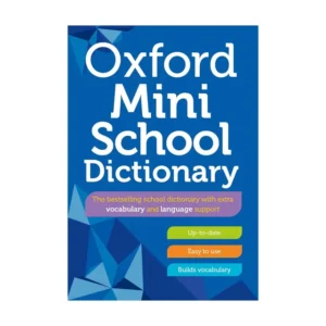
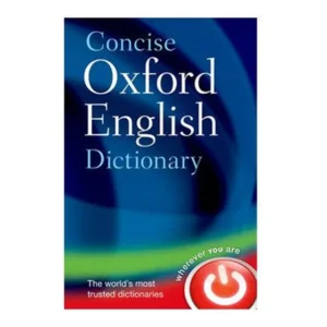
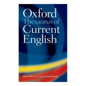
Oxford Dictionaries are globally trusted for their accuracy, clarity, and authoritative language reference. Designed to support learners and everyday users alike, Oxford dictionaries offer reliable definitions, spelling, and usage guidance across English language levels. The Oxford dictionary range is available on Penfile.co.za.
Be the first to review “Oxford Primary Atlas For South Africa”
Related products
Reviews
There are no reviews yet.